Produkte nach Namen (Auswahl hier vergrößern oder wählen Sie eine Produktgruppe oder scrollen Sie nach unten): (75)
- iAG²V -Localization for Autonomous Gyro and LiDAR Guided Vehicles (1)
- iANARO - Gyro based Drillhead Localization (2)
- iALS - Airborne Laser Scanning (1)
- iATTHEMO - Marine Solutions for Ride Control and Navigation (6)
- iCOMBANA - Geo Localization and Pointing for Military Vehicles (3)
- iCORUS - Airborne Strapdown Gravimetry (4)
- iDAGOS - Dual Antenna Gyro Aided Heading (3)
- iDMN - Dynamic Mesh Communication Network (2)
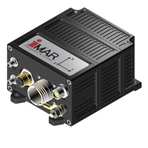
- iIMU - Inertial Measurement Units (5)
- iIPSC - Gyro Stabilized Platforms for EO/IR and Antennas (12)
- iLIANE - LiDAR / INS based Geo-Localization (1)
- iMADC - Micro Air Data Computer (1)
- iMAG - Magnetometers (3)
- iMGYR - Rugged Single Axis MEMS Gyro Systems (1)
- iMWS (1)
- iNAT - Class of leading inertial Navigation & Timing Systems (15)
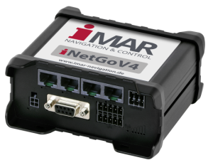
- iNetGo - Radio Modems for RTK Correction Datas (1)
- iOET² - Target Video Tracking Systems (8)
- iPEGASUS - Transfer Alignment Systems (1)
- iPosCAL - INS/GNSS/X Post Processing Software (1)
- iPRENA - Geo Localization and Pointing for Military Vehicles (4)
- iPST - Localization and Surveying for Pipelines (2)
- iRail - Localization and Surveying for Railway Applications (9)
- iREF / iRRR (2)
- iRBG - Radio Beacon with GNSS/IMS Localization (1)
- iSULONA - Geo Localization of Military Logistics & Support Vehicles (3)
- iSSMC - Ship Stabilization and Motion Control (1)
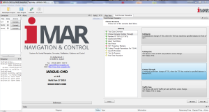
- iSWACO-ARGUS - The holistic Toolchain for automotive Proving Grounds (5)
- iSYNC (1)
- iTGAC (1)
- iTHESEUS - Leading autonomous Indoor Localization (1)
- iTNAV - Leading Torpedo Navigation (1)
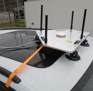
- iTraceRT - Leading Ground-Truth for automotive Testing (4)
- iTURN (2)
- iVRU (8)
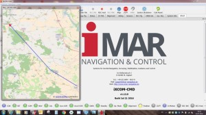
- iXCOM-CMD - Powerful Operator's Software for iMAR's inertial Systems (4)


